St. John’s city council passes wetland study
But not everyone agrees on the system used to decide which ones get protected and which ones don’t
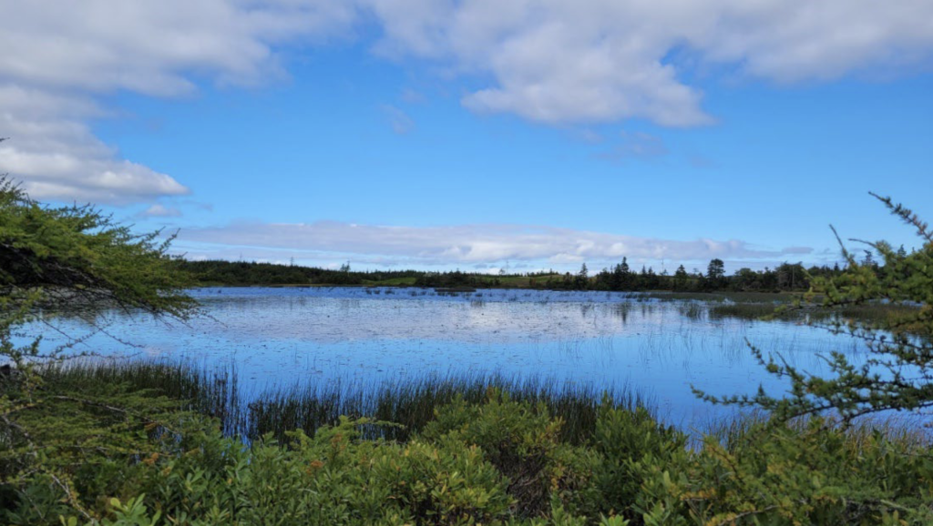
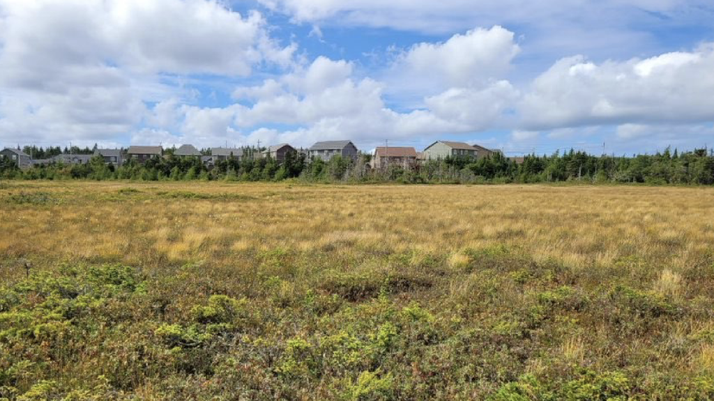
Anyone following the business of St. John’s City Council should be familiar with the ongoing saga of the Wetlands Phase 2A study, which aimed to classify and rank 68 wetlands in the capital city. The study has come before council a number of times, most recently this past summer.
At that time, the council sent the results of the study, and its proposed wetland ranking system, to its Environment and Sustainability Experts Panel (ESEP) for review before moving forward.
Council got the review, and the suggested changes, and moved forward with the study on Oct. 29 despite concerns raised by the ESEP and members of the public.
The City is using a system called the Wetlands Ecosystem Services Protocol (WESP) to give each wetland a score between 1-10 in a number of categories, then using a weighted average to devise an overall score.
Will you stand with us?
Your support is essential to making journalism like this possible.
All wetlands with an overall weighted WESP score of 5 or greater, and all wetlands with an individual WESP grouped function score of 8.5 or greater, will be protected.
One of the issues that the ESEP, the public, and one of the people who helped develop the use of the protocol in the province have is that WESP is not designed to be averaged out, and doing so may leave wetlands that should be protected open for development.
“The ESEP is very concerned that there is no comprehensive analysis, consultation, or scientific basis for the current weighting of WESP’s function category scores,” the panel wrote it its submission to council, adding that the weights were not selected by WESP assessors but were based on a municipality with a completely different terrain, ecology, and hydrology.
In a written submission to council, Jonathan Sharpe, who works with the provincial Department of Fisheries, Forestry and Agriculture and helped calibrate WESP for use in the province, said WESP “purposely does not provide a mechanism for weighting values and providing an overall score for any particular wetland.”
“To assuage political decision-making purposes,” he wrote, “there have been a number of efforts across North America to establish methods by which WESP data can be weighted and therefore arrive at an overall wetland score […] to assist/provide data in support of what in reality, remains a political development decision.”
Sharpe, and the ESEP, recommended the City use a more nuanced, multi-tiered approach when looking at wetlands, to provide both a clearer picture of their significance and whether they should and could be developed. The ESEP said to meet housing needs, the city should instead focus on up-zoning and infill development reform and only after all wetland protection possibilities have been explored, mitigation could be used.”
In the end, council made some changes based on the feedback, including raising the minimum single-category score for wetland protection to 8.5, but voted to continue using the weighted average process.
Majority of studied wetlands protected
When presenting the recommendations before council, Coun. Maggie Burton said the addition of the section excluding wetlands that scored higher in one particular category is an important change, and would result in the protection of more wetlands in the city, including 14 of the 68 studied.
“That means that if you have a wetland that’s a really great bird habitat for some rare migratory species and it scored an 8.5 because of that, then that wetland would be protected even if its hydrological function would be theoretically zero, so that’s a really important change,” she said.

Burton said with the changes, using this methodology protects in whole or in part 63 of the 68 wetlands looked at in the study.
Breaking it down, 12 of the 68 Phase 2A wetlands will be protected by having a WESP score of 5 or higher, 14 will be protected by having an individual grouped function score of 8.5 or higher, and of the remaining 41 wetlands in the study area, 36 will have full or partial protection because they are contained within the 100-year floodplain and/or buffer. In 2020, council voted to protect all wetlands within watersheds and floodplains, and a 100-year floodplain is a floodplain where a flood event with a 1 in 100 chance of occurring in any given year is possible.
“People in the public are concerned about wetland protection,” Burton said. “Some people think we’re not protecting them at all, and that is categorically false. Most of the wetlands in the city are not under development pressure, most of the wetlands are protected, and the City is taking into consideration things like climate change and environmental stewardship in its decision making.”
In the first phase of the study, 3,564 individual wetlands larger than 100 square metres were identified in the city.
Protocol provides certainty: Burton
Speaking with The Independent after Tuesday’s council meeting, Burton said she was worried that in using just the weighted average model the City was focusing too much on hydrological function and not enough on other aspects of wetland importance. If the City hadn’t made the change that excluded wetlands which score high in one area, she said it would have opened up a further 14 wetlands for development, whereas now they are not up for debate.
When asked about the concerns about using a weighted average, Burton said the reality is the City needs a scoring system for wetlands for a number of reasons, one of which is making sure the books are closed on certain areas council gets development applications for every few years.
“There’s a lot of pressure on those handful of wetlands that we’re talking about today, those 68 wetlands,” she said. “There’s a lot of pressure to develop certain ones, and developers keep coming back and asking us to allow the development to proceed. Council says, on a case by case basis, in the past, ‘you can’t do that one’, or ‘yes, you can do this one’. It was just way too much discretion at council level in order to manage these wetlands. I felt really strongly that we needed to come up with a system that was able to set out guidelines and then certainty and consistency and all those other concerns that we do hear from the development community are no longer valid.”
Burton said she feels the council of the day is fairly well-balanced when it comes to conservation and development, but things could change following the next election, and the one after that — and using this system, she says, provides a certainty that wetlands who meet the criteria will be protected.
Davis concerned
Not everyone around the council table agreed with the system the City is using, with Ward 4 Coun. Tom Davis being the lone councillor to vote against the amendment. Deputy Mayor Sheilagh O’Leary abstained from voting on the amendment, citing a conflict.
Davis said using this system removes protection from some wetlands that were previously protected, using wetlands in Southlands and in the Bally Haly (formerly Clovelly) golf course as examples.

“A lot of these wetlands will be protected just because they happen to be above the area we can develop,” he said. “But [if] we’re going to use this model to decide in the future the exact same thing, there are no guarantees.”
Davis said he was concerned by the comments that using WESP in this way is unscientific, and he could not support this model.
Council voted to pass the proposed development regulation amendment, which protects Lundrigan’s Marsh as an identified Conservation Area, protects all wetlands with an overall weighted WESP score of 5 or greater, and protects all wetlands with an individual WESP grouped function score of 8.5 or greater.
Parking relief and zone standards set
There were a few standard development applications before council this week, such as crown land grants and small buildings being built in floodplain buffers, but two requests for council to set zone requirements were a little different from most. The first application was for a yet-to-be-constructed building in a long vacant lot at 51-53 Harvey Rd. The proposed building, which will front both Harvey Road and Long’s Hill, will have four apartments with some office and commercial use mixed in.
The developer, RJC Development Consulting Inc., asked council to require two fewer parking spaces in the building, which requires seven, and for the City to set zone standards, including requiring no landscaping. The building will actually have nine stacked spaces in five garages, but since stacked parking doesn’t qualify when calculating parking requirements in the city, they needed the nod from council.
Burton asked about the lack of landscaping required, and Deputy City Manager Jason Sinyard said since the building is in an area of downtown where everything is built to the street there is no real space for landscaping.
“If this were a commercial development or a residential development in a different zone with different setbacks, there is a landscaping requirement, but the pattern of development downtown is not conducive to having a landscaping requirement,” he said.
The other request to set zone standards was for property on East White Hills Road, which will help get the SPCA closer to developing a new building on the property to be used as a kennel.
The kennel was previously approved by council in February as a discretionary use and now that the site plan has been designed, the SPCA was asking council to set the zone standards.
O’Leary commended the SPCA on the project, saying a lot of work went into getting it to this point.
“Obviously, humane services and care for animals is a big need in our community and this discussion has gone through many ebbs and flows, and now we’re finally seeing it come to fruition, at least at this stage, so I’m really excited for the organization and happy to support it,” she said.
Mayor Danny Breen also weighed in, saying he was happy to read that the SPCA mentioned in its written submissions that City staff had been helpful in getting the proposal to this stage.
Council voted in favour of both applications.
Regatta Day holiday moved
“The largest garden party in the world” will be held on a different day next year. While the Royal St. John’s Regatta is traditionally held on the first Wednesday in August, it’s being moved to July 30 for 2025 to accommodate the Canada Games being held in St. John’s August 8-25.
According to a staff decision note provided to council, which had to vote to change the date of the official civic holiday that comes with the event, the change will allow Canada Games athletes competing in canoeing and kayaking “unfettered access to Quidi Vidi Lake and the surrounding facilities for training and competition during the first week of August.” Council voted to move the holiday.

Author

Related Articles
Muslim youth donate 600 pounds of food to Avalon food bank
As the province continues to see high rates of food insecurity, communities are coming together this holiday season to make sure households have food on the table

Head of Memorial University’s EDI office leaving role
In an interview with The Independent, Delores Mullings spoke candidly about challenges with the equity, diversity and anti-racism position

Labrador woman calls for nursing reform following husband’s death
Susanna Rumbolt says her husband Tim, who was battling cancer, should not have died following appointments with an oncology nurse in St. Anthony