Changing Trails: Nunatsiavummiut losing traditional routes as climate change wreaks havoc in Labrador
Open brooks and thin ice are putting Inuit lives at risk
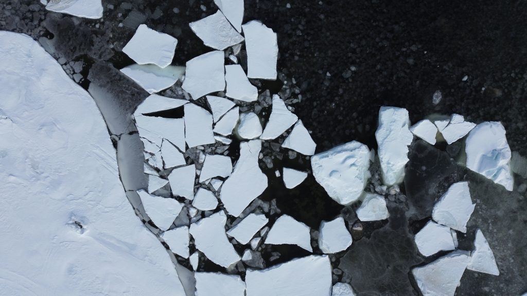
A brook has opened up near Rigolet. There is thin ice near Postville. An early snowfall slowed ice growth near Nain. Traditional snowmobile routes aren’t safe near Makkovik. Throughout Nunatsiavut, a warming and less predictable climate is changing ice patterns Inuit have used for centuries.
Glen Sheppard, a former AngajukKak of Postville, is worried it’s just a matter of time before someone goes through the ice on their snowmobile/ski-doo. “We’re facing huge, huge changes,” he says.
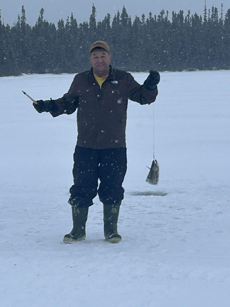
Sheppard serves on Postville’s volunteer Search and Rescue team. He recently travelled out of the community to cut firewood, something many Inuit rely on for heat in the winter months, when he found “slob” ice—when ice softens and turns to slush—and even open water. “It’s only February. I just couldn’t get over it,” he says. “It’s a big adjustment, and it takes away a lot of our way of life.” In most years, Sheppard doesn’t see slob ice until April or May. He took photos of what he saw, during low tide, and worries high tide will bring more water.
Inuit can’t travel from Postville to Hopedale—about 75 kilometres away—on the “normal winter route” of sea ice, he explains. Travelling from the community to Makkovik is easier, he says, only because there are alternate routes. “We’re detouring and going up in the bays and crossing land,” he explains. “We’re almost March. We should have been using the winter route long ago.”
Will you stand with us?
Your support is essential to making journalism like this possible.
“It’s harder, longer, burning more gas, harder on snowmobile,” Sheppard said. “Because going to Hopedale on the winter route, basically 90 per cent of the way is on flat ice. The rerouting route, you’re going probably 75 per cent over land.”
Sheppard says he doesn’t bother applying for one of the few polar bear hunting licenses which are part of the traditional Inuit hunt of the healthy Davis Strait polar bear population. The ice is too unpredictable. The changes are “scary in a way,” he says.
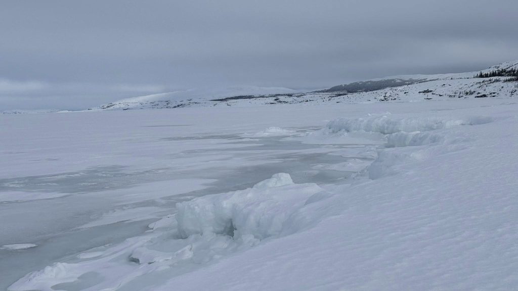
Open ice near Rigolet
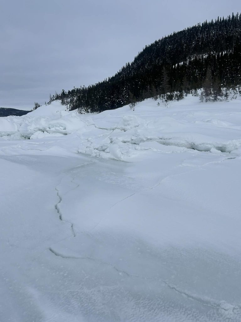
Near Rigolet, David Wolfrey had to place a marker on the ice near open water at Campbell Brook, about halfway between Rigolet and North West River. The retired conservation officer saw another community member post on social media how ice had fallen into the running water, so he visited the spot and placed trees around the open water.
Wolfrey says the ice doesn’t normally fall into the brooks until April, but above-zero temperatures in recent weeks, and occasional rain, has made February’s weather feel like April. “Boy, it’s changing,” he says. “I see a big change now from even when I started work 30 years ago.”


David Wolfrey (pictured) marked an open brook about halfway between Rigolet and North West River to warn others travelling the route of the danger. Submitted.
The community doesn’t get cold weather, snow and ice until a month later in the fall and the snow and ice is gone a month earlier in the spring when compared to 30 years ago, Wolfrey explains, which means he and others in Rigolet typically don’t visit their traditional trapping grounds until mid-January, where Nunatsiavummiut elsewhere are usually able to travel by mid-December.
“You start to lose the way of life,” he says. “You’re losing the tradition that was always there, like especially with the trapping. People used to always do that, but no, you’re losing some of that with the warm weather. I find it sad to see that kind of stuff disappearing.”
Late freeze-up and early snow in Nain
In the northern part of Nunatsiavut, Joey Angnatok says the ice is forming slower than usual near Nain. Normally the ice starts forming around mid-December, he says, and thickens until February, usually the coldest month of the year. Angnatok says ice near Nain began forming around mid-January, followed shortly after by a large snowfall, which typically doesn’t happen until March. Snow on top of thin ice is a recipe for disaster, he says. “Unfortunately, with snow, it’s a good insulator for everything.”
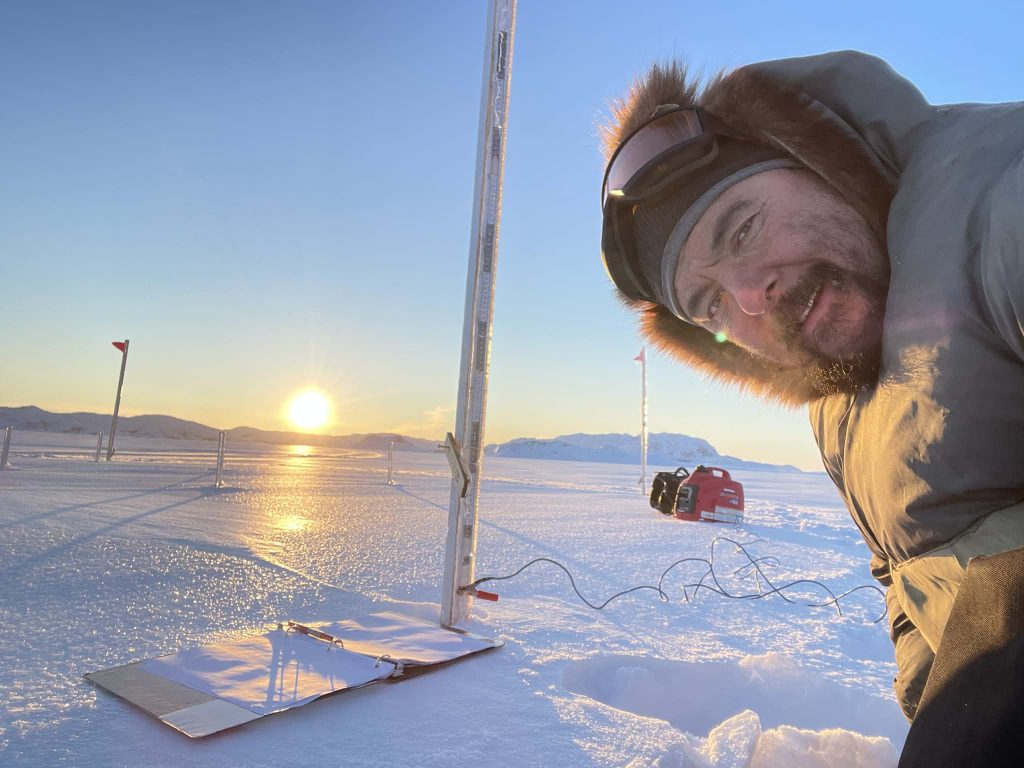
Angnatok says he measures ice in a few places every year, and that in one spot outside Nain earlier this month he measured a thickness of 40 centimeters. In a typical season, that same ice grows thicker before significant snowfalls cover it.
When Angnatok checked the ice again on Feb. 21, it had only grown two centimeters and was 42-45 centimeters thick, he says. “This time of year, now, it should be up close to say, 90 to 100 centimeters thick. But because the snow is on it, the frost can’t get through it,” he says.
While 40 centimeters of ice is usually safe to drive on, he says, there’s a danger that the snow may have also covered less developed ice. “It’s a different year than what we were used to,” he says. “I’ve gotten to a point now that I don’t try and predict anymore, because people ask me, ‘What’s your thoughts on next month? Is it going to be good?’” he says. “And I’m like, ‘I’m sorry, but I don’t want to say.’”
Angnatok hopes to see more knowledgeable people going out to check the conditions and informing the public about what they find. He says locals have to be cautious about areas that have been reliable in the past, and that they should carry additional safety equipment like fire supplies.
Slob ice near Makkovik
Slob ice is something Makkovik AngajukKak Barry Andersen is watching closely. Less than two weeks ago he and his family had to take a different route to their cabin at Big Island. “It was basically just slob and water at the time, with no cold temperatures, so not a very good situation, but it all looks the same,” he says.
Ice normally starts forming in early December, then freezes up, he says, adding slob ice isn’t typical in mid-February. “Most people, when they’re hauling firewood, would like to avoid the hills and banks, so they stay on the level ice until they get ready in the harbour here,” he explains. “But you really can’t do that so far this year, just due to the unpredictable ice.”
If people get stuck in slob ice this year, he says, there may not be enough solid ice beneath and there’s a potential to fall through. Andersen also says the ice has been too unsafe to mark a traditional route for travellers between Makkovik to Hopedale.
The warmer weather is making overland trails more challenging, Andersen says. Longer summers and milder shoulder months in the spring and fall means less ice and snow for trails. That, combined with longer growing seasons for vegetation, means shrubs and bushes often protrude through the trails. Andersen says the provincial government may need to increase trail cutting as a result.
Road to Postville needs to be seriously considered: Sheppard
With all the changes, Sheppard says the province needs to consider a road from North West River to Postville so Labrador’s northern communities could be serviced from Postville, drastically shortening the ferry route in the summer if the ferry were able to pick up goods in Postville to transport to the other communities. In the winter months, those goods could be transported by snowmobile, he says. “I’d like to sit down with the premier, to be honest with you, have a good old chat with the premier, talk to him about transportation on the north coast.”
Currently, the ferry sails from Happy Valley-Goose Bay across Lake Melville and past Rigolet for every north coast trip. Sheppard says it could be easier on the vessel, and a shorter trip for ferry passengers and goods, saving more than 100 kilometres travel time.
On Feb. 14, Sheppard was part of a duo marking the trail from Postville toward Makkovik. In the middle of the bay, about 22 kilometres outside Postville, Sheppard describes what he and his partner found. “I put the drill on the ice, and I started to press the trigger, and she started to go, boom, she’s gone through,” he recalls. “So we removed the slush from the edge of the hole and put the measuring stick down, and we barely measured 12 inches of ice.”
In a regular year, the ice would be two or three feet thick, he adds. “I don’t know what’s going to happen a few years down the road.”

Author

Related Articles
PCs have no plan to meet ambitious housing targets
Finance minister pins housing hopes on federal funding, says his own portfolio of rental properties doesn’t put him in a conflict of interest
Photos returned to Innu ahead of Labrador exhibit showcasing history, culture
Cultural Guardian Jodie Ashini hopes the archival photographs will help strengthen youth’s connection to Innu culture, and ultimately improve mental health
Can N.L. have oil and gas, and climate targets too?
Finance minister says yes, but ATI requests show there’s no plan for how to do both — and reveal significant unpublished emissions estimates